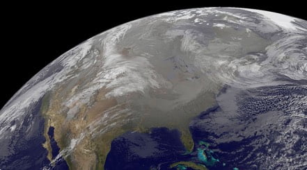
A major winter storm is packing a snowy, icy northern side today, creating hazardous travel conditions from the Great Lakes and northern Ohio Valley to New England.
A complex, potent winter storm will track from western Pennsylvania across central and southern New England throughout today before reaching Atlantic Canada overnight and early Monday. Snow has spread along the storm’s cold, northern fringe as the storm’s Gulf moisture interacts with Arctic air.
Winter Storm Warnings are in place across upstate New York, Vermont, New Hampshire, Maine, and Massachusetts. This includes Burlington, Vt., and Manchester, N.H. Winter Weather Advisories stretch from the Michigan Upper Peninsula and southern Illinois into southern New England as well. Cities such as Detroit, Buffalo, N.Y., Hartford, Conn., and Boston are included.
A large sleet and freezing rain transition zone has developed from western and central New York State into interior Massachusetts, southwestern and southern Vermont, and southern New Hampshire this morning. This band will chug farther north and east throughout the day and tonight, pivoting from the colder valleys in New York, western Massachusetts, into the remainder of New Hampshire and much of Maine.
Ice accumulation of one-tenth to one-third of an inch will create plenty of travel headaches over many of these parts of New England through tonight.
A few-hour window exists where the icy mix could switch back to snow briefly from west-to-east, beginning with western New York this afternoon and northern New England to Maine this evening into very early predawn on Monday.
Four to 8 inches of snow is forecast for upstate New York, northern Pennsylvania, and much of New England, with higher totals of 6 to 12 inches likely in the Adirondacks, Green Mountains, and White Mountains. A mix of sleet and freezing rain will add a glaze of ice, particularly in lower elevations.
Travel will be difficult to dangerous from parts of the Great Lakes and northern Ohio Valley into New York State and New England. Snow-covered and icy roads, combined with reduced visibility from blowing snow, will make for treacherous conditions, especially in rural areas and higher elevations. If travel is not necessary, it is best to stay off the roads until conditions improve.
Be sure to download the WeatherBug app to stay up to date on the latest on this changing weather. It’s never too early to have a supply kit packed in case of inclement weather. A simple kit including a weather radio, water, blankets, batteries, and non-perishable food items will go a long way in the event of a power outage.