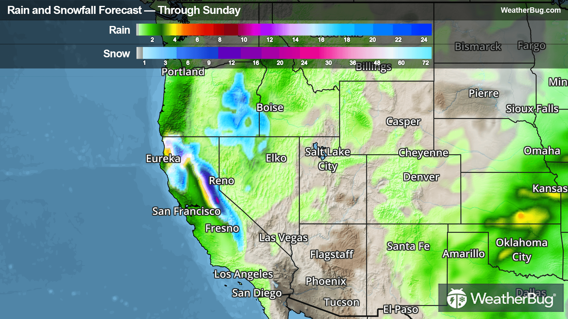
Beneficial Rain And Snow Coming To The West
Multiple storm systems will bring much-needed rain and snow to parts of the West Coast through this weekend.
Read More
Weather Station:Sandwich Community HS
55degrees Fahrenheit
Feels like:55°F
Hi: 61Lo: 55
Mostly Cloudy
Lo56°F
Partly cloudy with a slight chance of rain. Chance of precipitation 30%. Low temperature around 56F. Dew point will be around 46F with an average humidity of 68%. Winds will be 16 mph from the S.
Hi66°F
Mostly cloudy. A slight chance of showers until late afternoon then a chance of showers and thunderstorms late. Highs in the lower 70s. West winds around 10 mph. Chance of precipitation 40 percent.

29 | Fair
9.3 Medium-High
Closest strike in the last 30 minutes:1057.9 miles
No Lightning Nearby


