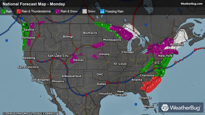
Dangerous Spring Storms Take Aim at Ohio Valley, Mid-Atlantic
Spring is here and Mother Nature is set to bring dangerous thunderstorms to parts of the Great Lakes, Ohio Valley and Mid-Atlantic.
Read More
Weather Station:Carmeuse Lime- Black River Operations
78degrees Fahrenheit
Feels like:78°F
Hi: 90Lo: 45
40% Chance Rain Showers
Lo45°F
Partly cloudy early this evening. Showers with thunderstorms likely. Some thunderstorms may produce small hail and frequent lightning. Much cooler with lows in the upper 30s. Southwest winds 10 to 15 mph becoming north 15 to 20 mph after midnight. Chance of rain 100 percent.
Hi52°F
Partly cloudy in the morning then clearing. Much cooler with highs in the lower 50s. North winds 10 to 15 mph with gusts up to 25 mph.

39 | Fair
10.1 High
Closest strike in the last 30 minutes:80.2 miles
No Lightning Nearby