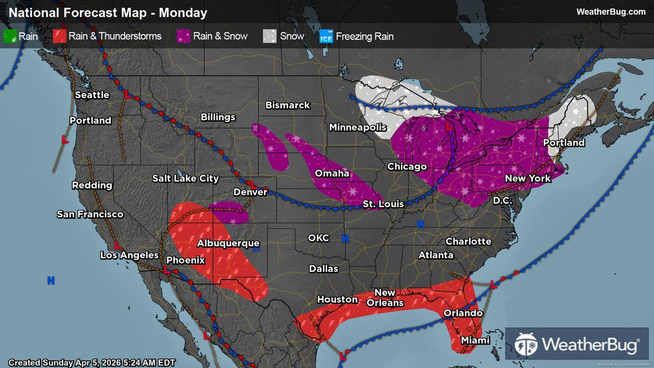
Monday's Weather Outlook
The first Monday in April will struggle to feel like Spring for much of the country.
Read More
Weather Station:Northstar MS
43degrees Fahrenheit
Feels like:43°F
Hi: 49Lo: 35
70% Chance Rain Showers
Hi49°F
Mostly sunny with probable rain-snow mix. Chance of precipitation 65%. High temperature around 49F. Dew point will be around 27F with an average humidity of 67%. Winds will be 12 mph from the W.
Lo35°F
Mostly cloudy. Scattered rain showers early in the evening. Lows around 30. Northwest winds 10 to 15 mph. Chance of showers 40 percent.

28 | Fair
5.5 Medium
Closest strike in the last 30 minutes:1005.7 miles
No Lightning Nearby


