URGENT - WEATHER MESSAGE
National Weather Service San Francisco CA
110 PM PST Fri Jan 2 2026
San Francisco-Marin Coastal Range-Sonoma Coastal Range-North Bay Interior Mountains-Coastal North Bay Including Point Reyes National Seashore-San Francisco Peninsula Coast-Santa Cruz Mountains-East Bay Hills-Southern Salinas Valley/Arroyo Seco and Lake San Antonio-Santa Lucia Mountains and Los Padres National Forest-Mountains of San Benito County And Interior Monterey County including Pinnacles National Park-Northern Salinas Valley/Hollister Valley and Carmel Valley-Northern Monterey Bay- Southern Monterey Bay and Big Sur Coast- 110 PM PST Fri Jan 2 2026
...WIND ADVISORY REMAINS IN EFFECT UNTIL 1 PM PST SATURDAY...
* WHAT...South winds 15 to 25 mph with gusts up to 50 mph.
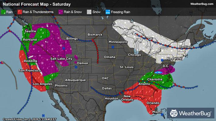
* WHERE...The Central Coast, The Salinas and Carmel Valleys and Hollister Area, The Marin Hills, Western Sonoma County Hills, The Santa Cruz Mountains, San Francisco, North Bay Interior Mountains, Coastal North Bay Including Point Reyes National Seashore, San Francisco Peninsula Coast, and East Bay Hills.
* WHEN...Until 1 PM PST Saturday.
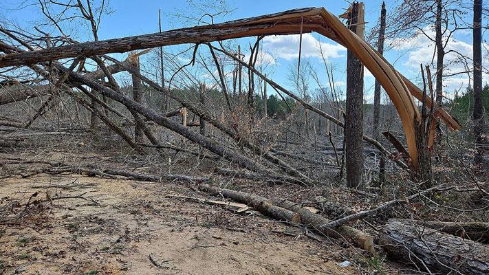
* IMPACTS...Gusty winds will blow around unsecured objects. Tree limbs could be blown down and a few power outages may result.
PRECAUTIONARY/PREPAREDNESS ACTIONS...
Winds this strong can make driving difficult, especially for high profile vehicles. Use extra caution.
&&


