URGENT - WINTER WEATHER MESSAGE
National Weather Service Sacramento CA
1245 PM PST Sun Jan 4 2026
Western Plumas County/Lassen Park-West Slope Northern Sierra Nevada- Including the cities of Blue Canyon, Chester, and Quincy 1245 PM PST Sun Jan 4 2026
...WINTER STORM WARNING REMAINS IN EFFECT UNTIL 4 PM PST MONDAY...
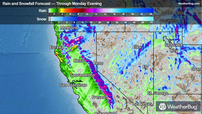
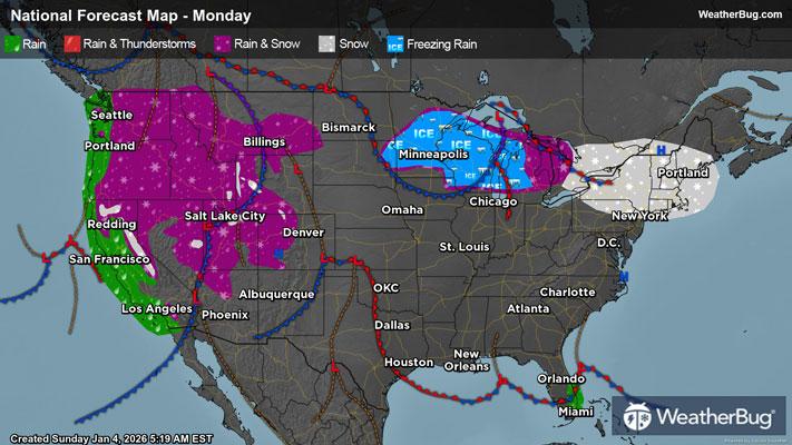
* WHAT...Heavy snow expected above 5000 feet. Additional snow accumulations of 4 to 8 inches above 4500 feet. 1 to 2 feet above 5000 feet, and 2 to 3 feet above 6000 feet. Locally higher amounts over the highest peaks. Winds gusting as high as 55 mph.
* WHERE...West Slope Northern Sierra Nevada and Western Plumas County/Lassen Park Counties.
* WHEN...Until 4 PM PST Monday.
* IMPACTS...Travel could be very difficult to impossible. The hazardous conditions could impact travel today and the Monday morning commute. Strong winds could cause tree damage.
* ADDITIONAL DETAILS...Snow levels around 5000 to 6000 today, lowering further to around 4000 to 5000 feet by early Monday morning. Heaviest snow expected today.
PRECAUTIONARY/PREPAREDNESS ACTIONS...
Check the latest road conditions from Caltrans online at quickmap.dot.ca.gov or dial 5 1 1.
&&