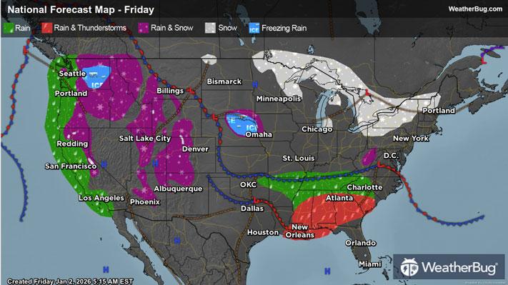
Rain and Mountain Snow To Target Northern California

A parade of storms will impact northern California later today into Monday bringing locally heavy rain and mountain snow.
Periods of rain will pick up in intensity later this afternoon into Saturday for northern California, then another round will occur Sunday into Monday. This will lead to more flooding problems and the potential for mudslides to occur. Rain totals of 2 to 4 inches are expected, with local amounts up to 6 to 8 inches in the foothills of the mountainous terrain.
Flood Watches are in effect across parts of northern California from later this afternoon into Sunday.
Wind gusts of 40 to 50 mph will be likely across coastal areas of northern California and up in the Sierra Nevadas later today into Saturday. This will potentially cause trees to uproot and topple due to the recent heavier rain across this region. High Wind Warnings, Advisories, and Watches have been issued throughout northern California into southern Oregon.
Rounds of heavy snow will fall across the Sierra Nevadas later today into Monday. This will lead to snow-covered roads and difficult travel conditions at certain passes. Snow totals of 6 to 12 inches will occur above 5,000 feet, while 2 to 4 feet of snow is likely above 6,000 feet.
Winter Storm Warnings are in effect across the Sierra Nevadas throughout the entirety of this event.
Be sure to download the WeatherBug app to stay up to date on the latest on this changing weather. It’s never too early to have a supply kit packed in case of inclement weather. A simple kit including a weather radio, water, blankets, batteries, and non-perishable food items will go a long way in the event of a power outage.