Storms Rumble Across The Deep South
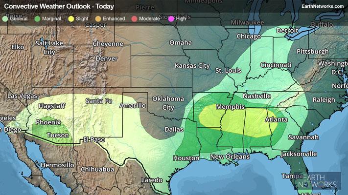
Clusters of storms will form from Arkansas and Louisiana into Alabama and Georgia this afternoon and evening, with large hail and gusty winds being the main concerns.
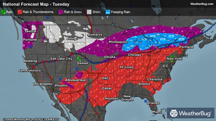
Heat and moisture from the Gulf will combine with an upper-level disturbance to produce scattered showers and thunderstorms across the Deep South today. The initial activity will develop over Arkansas, Louisiana, and Mississippi. As the day progresses, storms will travel eastward into Alabama, Georgia, and southern Tennessee through this evening.
The Storm Prediction Center has issued a Slight Risk (2 out of 5 on the severity scale) from southern Arkansas to northern Mississippi, most of Alabama, and western Georgia, with large hail and gusty winds possible. A few tornadoes may also develop. Little Rock, Ark., Jackson, Miss., Birmingham, Ala., and Memphis, Tenn., all have a chance for severe storms today.
A Severe Thunderstorm Watch has been issued for far southeastern Arkansas, northeastern Louisiana, southwestern Tennessee, and much of Mississippi.
Storms could also produce heavy rain today, with some spots receiving 1 to 2 inches of rainfall. Localized flash flooding could occur along with these higher amounts.
Make sure to know the difference between a watch and a warning should they be issued. A "watch" means that conditions are favorable for severe weather to occur, and to be on alert for any rapidly changing conditions. A "warning" means that severe weather is imminent, and you should act fast to remain safe.
The best way to remain safe is to stay prepared and informed about your local weather. Have a severe weather kit packed with a battery-operated radio, water, and non-perishable food items. Also, check the WeatherBug app frequently for any updates on today's severe weather. Remember, "When Thunder Roars, Go Indoors!"