10-Day Weather Forecast - Brownville, NY
- 66|50°FThunderstormsHourly details
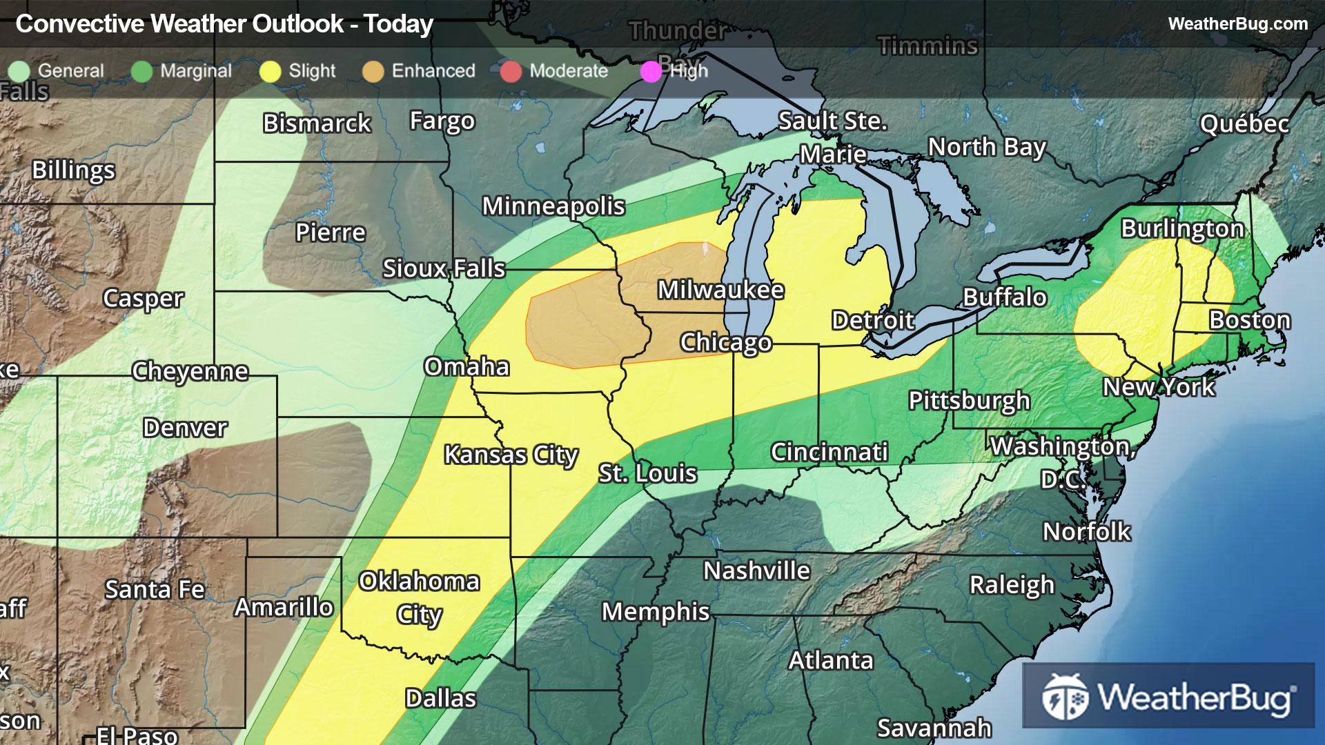
Today
66°FAreas of fog through early afternoon. A chance of showers early then showers late this morning. Showers with a chance of thunderstorms this afternoon. Warm with highs ranging from the lower 60s along the lake ontario shore to the upper 60s inland. Light winds becoming southwest 10 to 15 mph. Chance of rain near 100 percent.
Tonight
50°FMostly cloudy. A chance of showers and thunderstorms in the evening. Mild with lows ranging from the upper 40s along the lake ontario shore to the lower 50s across the tug hill. West winds 10 to 15 mph becoming light. Chance of rain 50 percent.
- 65|60°FThunderstormsHourly details
Day
65°FShowers with a chance of thunderstorms. Warm with highs ranging from around 60 along the lake ontario shore to the mid 60s inland. Light winds becoming southwest 5 to 10 mph. Chance of rain 90 percent.
Night
60°FShowers likely with a chance of thunderstorms in the evening then showers likely overnight. Mild with lows ranging from the upper 40s along the lake ontario shore to the mid 50s across the tug hill. Light winds. Chance of rain 70 percent.
- 67|52°F70% Chance Rain ShowersHourly details
Day
67°FShowers likely. Warm with highs ranging from around 60 along the lake ontario shore to the upper 60s inland. Southwest winds 10 mph or less. Chance of rain 70 percent.
Night
52°FShowers likely. Lows in the lower 50s. Chance of rain 60 percent.
- 64|50°F50% Chance Rain ShowersHourly details
Day
64°FMostly cloudy with a 50 percent chance of showers. Highs in the lower 60s.
Night
50°FMostly cloudy with a 50 percent chance of showers. Lows in the upper 40s.
Weekend Weather
- 72|53°F30% Chance Rain ShowersHourly details
Day
72°FPartly sunny with a 30 percent chance of showers. Highs in the upper 60s.
Night
53°FShowers likely. Lows in the mid 40s. Chance of rain 70 percent.
- 52|35°F70% Chance Rain ShowersHourly details
Day
52°FShowers likely. Highs in the lower 50s. Chance of rain 70 percent.
Night
35°FRain showers likely with a chance of snow showers. Lows in the lower 30s. Chance of precipitation 60 percent.
- 45|34°F30% Chance Snow Showers
Day
45°FPartly sunny with a 30 percent chance of snow showers. Highs in the lower 40s.
Night
34°FClear. Low temperature around 34F. Dew point will be around 23F with an average humidity of 55%. Winds will be 6 mph from the W.
- 51|45°FSunny
Day
51°FSunny. High temperature around 51F. Dew point will be around 27F with an average humidity of 48%. Winds will be 4 mph from the SW.
Night
45°FPartly cloudy with a slight chance of rain. Chance of precipitation 30%. Low temperature around 45F. Dew point will be around 35F with an average humidity of 66%. Winds will be 6 mph from the S.
- 56|48°F50% Chance of Rain
Day
56°FCloudy with a chance of rain. Chance of precipitation 45%. High temperature around 56F. Dew point will be around 42F with an average humidity of 69%. Winds will be 6 mph from the SW.
Night
48°FCloudy with a chance of rain. Chance of precipitation 40%. Low temperature around 48F. Dew point will be around 43F with an average humidity of 76%. Winds will be 4 mph from the S.