10-Day Weather Forecast - East Aurora, NY
- 72|61°F70% Chance of RainHourly details
Today
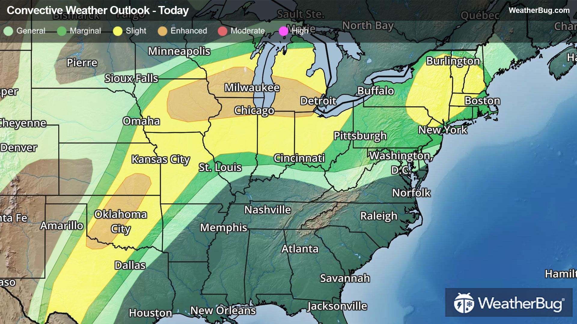
72°FPartly cloudy with probable rain. Chance of precipitation 65%. High temperature around 72F. Dew point will be around 61F with an average humidity of 80%. Winds will be 10 mph from the SW.
Tonight
61°FMostly cloudy. A chance of showers and thunderstorms early. Showers with a chance of thunderstorms late. Mild with lows ranging from the mid 50s along the lake erie shore to the upper 50s inland. Southwest winds 10 to 15 mph becoming light. Chance of rain 90 percent.
- 72|62°FThunderstormsHourly details
Day
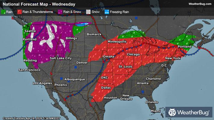
72°FShowers with a chance of thunderstorms. Warm with highs ranging from the mid 60s along the lake erie shore to the lower 70s inland. Southwest winds 10 mph or less becoming west 10 to 15 mph with gusts up to 30 mph. Chance of rain 90 percent.
Night
62°FShowers with a chance of thunderstorms. Mild with lows in the upper 50s. Southwest winds 10 mph or less. Chance of rain 90 percent.
- 73|55°F70% Chance of StormsHourly details
Day
73°FShowers likely in the morning then showers likely with a chance of thunderstorms in the afternoon. Warm with highs in the lower 70s. Southwest winds 10 to 15 mph with gusts up to 30 mph in the afternoon. Chance of rain 70 percent.
Night
55°FShowers likely with a chance of thunderstorms in the evening then showers likely overnight. Mild with lows in the lower 50s. Southwest winds 10 to 15 mph becoming light. Chance of rain 70 percent.
- 61|52°F50% Chance Rain ShowersHourly details
Day
61°FMostly cloudy with a 50 percent chance of showers. Highs in the upper 60s.
Night
52°FMostly cloudy with a 40 percent chance of showers. Lows around 50.
Weekend Weather
- 80|53°F60% Chance Rain ShowersHourly details
Day
80°FShowers likely. Highs in the mid 70s. Chance of rain 60 percent.
Night
53°FShowers. Lows in the lower 40s. Chance of rain 80 percent.
- 51|31°F60% Chance Rain ShowersHourly details
Day
51°FShowers likely. Highs around 50. Chance of rain 60 percent.
Night
31°FMostly cloudy with a 50 percent chance of snow and rain showers. Lows in the upper 20s.
- 36|32°FPartly Sunny
Day
36°FPartly sunny. Highs in the lower 40s.
Night
32°FPartly cloudy. Lows in the upper 20s.
- 55|45°FMostly Sunny
Day
55°FMostly sunny. Highs around 50.
Night
45°FMostly clear. Low temperature around 45F. Dew point will be around 34F with an average humidity of 63%. Winds will be 4 mph from the S.
- 60|51°F30% Chance of Rain
Day
60°FPartly cloudy with a slight chance of rain. Chance of precipitation 25%. High temperature around 60F. Dew point will be around 44F with an average humidity of 66%. Winds will be 6 mph from the SW.
Night
51°FPartly cloudy with a slight chance of rain. Chance of precipitation 30%. Low temperature around 51F. Dew point will be around 45F with an average humidity of 76%. Winds will be 2 mph from the S.
- 62|50°F40% Chance of Rain
Day
62°FCloudy with a chance of rain. Chance of precipitation 40%. High temperature around 62F. Dew point will be around 49F with an average humidity of 74%. Winds will be 2 mph from the SE.
Night
50°FCloudy with a chance of rain. Chance of precipitation 35%. Low temperature around 50F. Dew point will be around 48F with an average humidity of 81%. Winds will be 1 mph from the SW.