10-Day Weather Forecast - Granville, VT
- 66|52°FThunderstormsHourly details
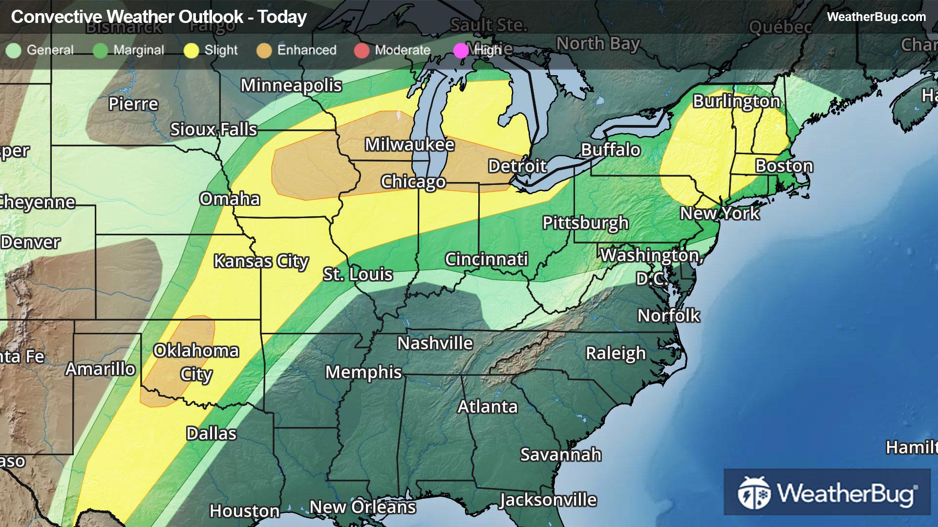
Today
66°FPartly sunny late this morning. Showers with a chance of thunderstorms this afternoon. Some thunderstorms may produce gusty winds small hail and heavy rainfall this afternoon. Highs in the upper 60s. Light and variable winds becoming south around 10 mph with gusts up to 25 mph this afternoon. Chance of rain near 100 percent.
Tonight
52°FMostly cloudy. Showers likely with a slight chance of thunderstorms until midnight. Patchy fog after midnight. Some thunderstorms may produce gusty winds small hail and heavy rainfall until midnight. Lows around 50. West winds around 10 mph with gusts up to 25 mph until midnight becoming light and variable. Chance of rain 70 percent.
- 66|57°F80% Chance of StormsHourly details
Day
66°FPatchy fog in the morning. A chance of showers in the morning then showers with a chance of thunderstorms in the afternoon. Highs in the mid 60s. Light and variable winds. Chance of rain 80 percent.
Night
57°FShowers likely. Lows in the mid 50s. Light and variable winds. Chance of rain 70 percent.
- 69|56°F70% Chance Rain ShowersHourly details
Day
69°FShowers likely. Highs in the upper 60s. Southwest winds around 10 mph. Chance of rain 70 percent.
Night
56°FShowers likely. Lows in the mid 50s. Chance of rain 70 percent.
- 63|50°F60% Chance Rain ShowersHourly details
Day
63°FShowers likely. Highs in the mid 60s. Chance of rain 60 percent.
Night
50°FPartly cloudy with a 40 percent chance of showers. Lows in the upper 40s.
Weekend Weather
- 61|49°FMostly CloudyHourly details
Day
61°FMostly cloudy. Highs in the mid 60s.
Night
49°FMostly cloudy with a 50 percent chance of showers. Lows in the upper 40s.
- 59|36°F60% Chance Rain ShowersHourly details
Day
59°FShowers likely. Highs in the upper 50s. Chance of rain 60 percent.
Night
36°FPartly cloudy with a chance of rain and snow showers. Lows in the lower 30s. Chance of precipitation 50 percent.
- 39|27°F30% Chance Snow Showers
Day
39°FPartly sunny with a 30 percent chance of snow showers. Highs in the lower 40s.
Night
27°FMostly clear. Low temperature around 27F. Dew point will be around 19F with an average humidity of 61%. Winds will be 6 mph from the NW.
- 48|35°FSunny
Day
48°FSunny. High temperature around 48F. Dew point will be around 20F with an average humidity of 46%. Winds will be 6 mph from the NW.
Night
35°FClear. Low temperature around 35F. Dew point will be around 25F with an average humidity of 59%. Winds will be 3 mph from the SW.
- 51|40°F30% Chance of Rain
Day
51°FCloudy with a slight chance of rain. Chance of precipitation 25%. High temperature around 51F. Dew point will be around 35F with an average humidity of 70%. Winds will be 3 mph from the W.
Night
40°FMostly cloudy. Low temperature around 40F. Dew point will be around 37F with an average humidity of 80%. Winds will be 1 mph from the SW.
- 58|45°FPartly Cloudy
Day
58°FPartly cloudy. High temperature around 58F. Dew point will be around 42F with an average humidity of 73%. Winds will be 2 mph from the SW.
Night
45°FCloudy with a slight chance of rain. Chance of precipitation 30%. Low temperature around 45F. Dew point will be around 44F with an average humidity of 85%. Winds will be 2 mph from the S.