10-Day Weather Forecast - Johnsonburg, NJ
Weekend Weather
- |50°F70% Chance of RainHourly details
Tonight
50°FMostly cloudy with probable rain. Chance of precipitation 65%. Low temperature around 50F. Dew point will be around 51F with an average humidity of 89%. Winds will be 4 mph from the SE.
- 52|35°FRainHourly details
Day
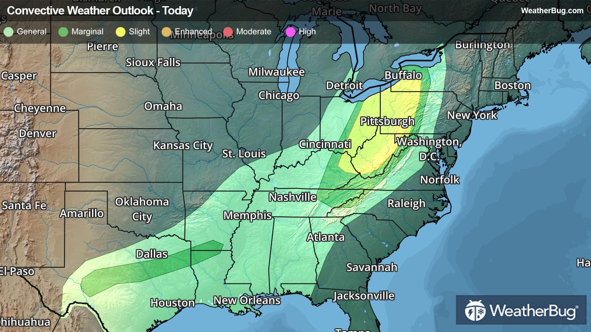
52°FShowers. Much cooler with highs in the lower 50s. Northwest winds 5 to 10 mph with gusts up to 25 mph. Chance of rain near 100 percent.
Night
35°FMostly clear in the evening then becoming partly cloudy. Patchy frost after midnight. Cooler with lows in the mid 30s. Northwest winds 5 to 10 mph with gusts up to 20 mph becoming west after midnight.
- 47|28°FPartly SunnyHourly details
Day
47°FPartly sunny. Patchy frost in the morning. Highs in the upper 40s. Northwest winds 5 to 10 mph with gusts up to 20 mph.
Night
28°FMostly clear. Colder with lows in the mid 20s. Northwest winds 5 to 10 mph.
- 51|40°FSunnyHourly details
Day
51°FSunny. Highs in the lower 50s. Northwest winds around 5 mph becoming southwest around 5 mph in the afternoon.
Night
40°FMostly cloudy. A chance of showers after midnight. Not as cool with lows in the upper 30s. Chance of rain 30 percent.
- 62|41°F30% Chance Rain ShowersHourly details
Day
62°FMostly cloudy with a chance of showers in the morning then partly sunny in the afternoon. Not as cool with highs in the lower 60s. Chance of rain 30 percent.
Night
41°FMostly clear. Lows around 40.
- 69|46°FSunnyHourly details
Day
69°FSunny. Highs around 70.
Night
46°FMostly clear. Lows in the mid 40s.
- 72|46°FMostly SunnyHourly details
Day
72°FMostly sunny. Highs in the lower 70s.
Night
46°FPartly cloudy. Lows in the mid 40s.
Weekend Weather
- 62|45°F40% Chance Rain Showers
Day
62°FPartly sunny. A chance of showers in the afternoon. Highs in the upper 60s. Chance of rain 40 percent.
Night
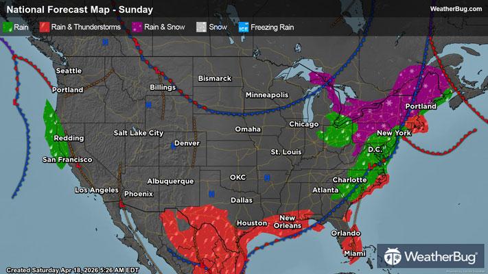
45°FCloudy with a chance of rain. Chance of precipitation 50%. Low temperature around 45F. Dew point will be around 46F with an average humidity of 81%. Winds will be 2 mph from the NE.
- 60|46°F50% Chance of Rain
Day
60°FCloudy with a chance of rain. Chance of precipitation 50%. High temperature around 60F. Dew point will be around 46F with an average humidity of 73%. Winds will be 2 mph from the E.
Night
46°FCloudy with a chance of rain. Chance of precipitation 35%. Low temperature around 46F. Dew point will be around 45F with an average humidity of 80%. Winds will be 2 mph from the E.
- 60|45°F30% Chance of Rain
Day
60°FCloudy with a slight chance of rain. Chance of precipitation 25%. High temperature around 60F. Dew point will be around 44F with an average humidity of 71%. Winds will be 1 mph from the E.
Night
45°FPartly cloudy with a slight chance of rain. Chance of precipitation 25%. Low temperature around 45F. Dew point will be around 44F with an average humidity of 78%. Winds will be 1 mph from the NW.