10-Day Weather Forecast - Pennellville, NY
- 73|59°FThunderstormsHourly details
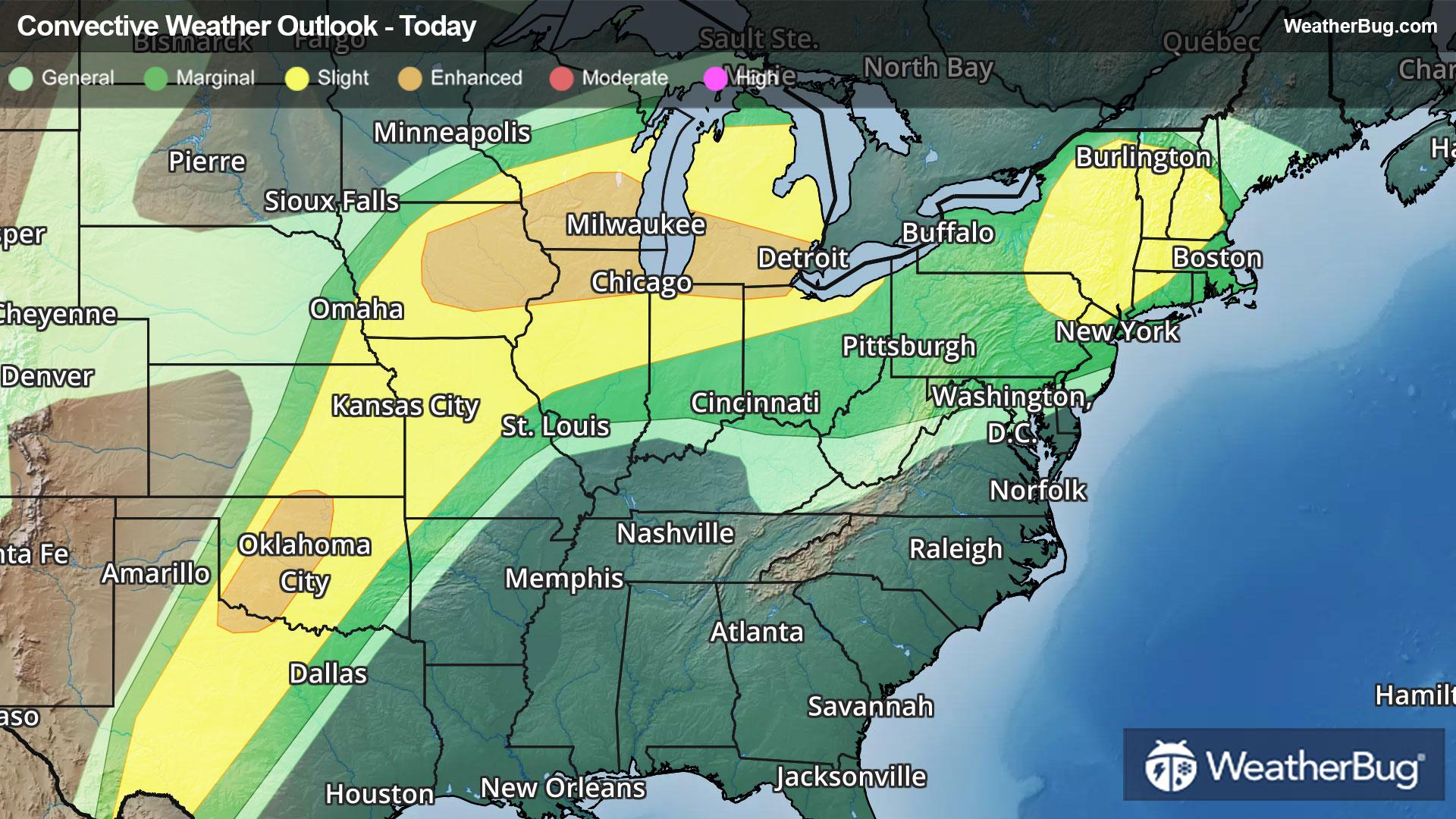
Today
73°FShowers late this morning then showers with a chance of thunderstorms this afternoon. Warm with highs ranging from the upper 60s along the lake ontario shore to the lower 70s inland. South winds 10 mph or less becoming southwest 10 to 15 mph. Chance of rain 90 percent.
Tonight
59°FMostly cloudy. Showers likely with a chance of thunderstorms in the evening. Mild with lows ranging from the upper 40s along the lake ontario shore to the mid 50s across the tug hill. West winds 10 to 15 mph becoming light. Chance of rain 60 percent.
- 75|64°FThunderstormsHourly details
Day
75°FShowers with a chance of thunderstorms. Warm with highs ranging from the mid 60s along the lake ontario shore to around 70 inland. West winds 10 mph or less. Chance of rain 90 percent.
Night
64°FShowers likely with a chance of thunderstorms. Mild with lows ranging from the lower 50s along the lake ontario shore to the upper 50s across the tug hill. Light winds. Chance of rain 70 percent.
- 75|58°F70% Chance Rain ShowersHourly details
Day
75°FShowers likely. Warm with highs ranging from the mid 60s along the lake ontario shore to the lower 70s inland. Light winds. Chance of rain 70 percent.
Night
58°FShowers likely. Lows in the lower 50s. Chance of rain 60 percent.
- 66|53°F60% Chance Rain ShowersHourly details
Day
66°FShowers likely. Highs in the mid 60s. Chance of rain 60 percent.
Night
53°FMostly cloudy with a 50 percent chance of showers. Lows in the upper 40s.
Weekend Weather
- 76|61°F30% Chance Rain ShowersHourly details
Day
76°FMostly cloudy with a 30 percent chance of showers. Highs in the lower 70s.
Night
61°FShowers likely. Lows in the mid 40s. Chance of rain 70 percent.
- 59|36°F70% Chance Rain ShowersHourly details
Day
59°FShowers likely. Highs in the mid 50s. Chance of rain 70 percent.
Night
36°FRain showers likely with a chance of snow showers. Lows in the lower 30s. Chance of precipitation 60 percent.
- 38|33°F30% Chance Frozen Mix
Day
38°FPartly sunny with a 30 percent chance of snow and rain showers. Highs in the lower 40s.
Night
33°FMostly clear. Low temperature around 33F. Dew point will be around 21F with an average humidity of 54%. Winds will be 6 mph from the W.
- 53|43°FSunny
Day
53°FSunny. High temperature around 53F. Dew point will be around 22F with an average humidity of 40%. Winds will be 5 mph from the W.
Night
43°FMostly clear. Low temperature around 43F. Dew point will be around 28F with an average humidity of 50%. Winds will be 2 mph from the S.
- 61|49°F30% Chance of Rain
Day
61°FCloudy with a slight chance of rain. Chance of precipitation 25%. High temperature around 61F. Dew point will be around 41F with an average humidity of 62%. Winds will be 4 mph from the W.
Night
49°FCloudy with a slight chance of rain. Chance of precipitation 25%. Low temperature around 49F. Dew point will be around 43F with an average humidity of 71%. Winds will be 2 mph from the SE.
- 65|51°F30% Chance of Rain
Day
65°FCloudy with a slight chance of rain. Chance of precipitation 25%. High temperature around 65F. Dew point will be around 46F with an average humidity of 65%. Winds will be 2 mph from the SE.
Night
51°FCloudy with a chance of rain. Chance of precipitation 35%. Low temperature around 51F. Dew point will be around 47F with an average humidity of 72%. Winds will be 1 mph from the SE.