10-Day Weather Forecast - Stryker, MT
- 53|34°FThunderstormsHourly details
Today
53°FSlight chance of thunderstorms through the day. Chance of rain showers in the morning then rain showers likely in the afternoon. Chance of precipitation near 100 percent. Cooler. Highs in the mid 50s to lower 60s.
Tonight
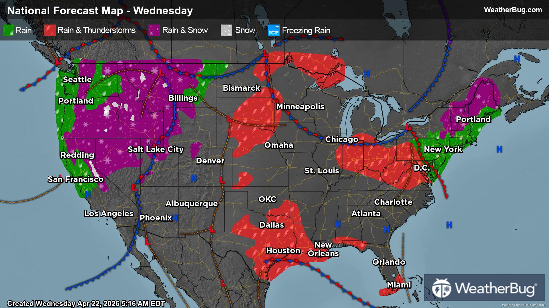
34°FRain likely in the evening then chance of valley rain with mountain snow likely after midnight. Patchy fog after midnight. Chance of precipitation 90 percent. No snow accumulation. Lows in the 30s.
- 43|23°FFrozen MixHourly details
Day
43°FRain and snow likely in the morning then rain showers snow likely and a slight chance of thunderstorms in the afternoon. Chance of precipitation 90 percent. Snow level 3000 feet. Little or no new snow accumulation. Highs in the mid 40s to lower 50s.
Night
23°FA chance of rain. Snow likely in the evening then a chance of snow after midnight. Chance of precipitation 60 percent. Snow level 2500 feet. Lows in the mid 20s to lower 30s.
- 44|21°F40% Chance of SnowHourly details
Day
44°FMostly cloudy with a chance of snow. A chance of rain in the afternoon. Chance of precipitation 40 percent. Highs in the mid 40s to lower 50s.
Night
21°FMostly cloudy with a 20 percent chance of snow in the evening then partly cloudy after midnight. Lows in the mid 20s to lower 30s.
Weekend Weather
- 45|21°FMostly CloudyHourly details
Day
45°FMostly cloudy. A 20 percent chance of snow in the afternoon. Highs in the mid 40s to lower 50s.
Night
21°FMostly cloudy in the evening then becoming partly cloudy. Lows in the 20s.
- 49|23°FPartly CloudyHourly details
Day
49°FPartly cloudy. Highs in the 50s.
Night
23°FMostly cloudy in the evening then becoming partly cloudy. Lows in the mid 20s to lower 30s.
- 54|32°FPartly CloudyHourly details
Day
54°FPartly cloudy. A 20 percent chance of rain in the afternoon. Highs in the mid 50s to lower 60s.
Night
32°FPartly cloudy. Lows in the upper 20s to mid 30s.
- 59|31°FPartly Cloudy
Day
59°FPartly cloudy. A 20 percent chance of rain in the afternoon. Highs in the 60s.
Night
31°FPartly cloudy with a slight chance of rain-snow mix. Chance of precipitation 25%. Low temperature around 31F. Dew point will be around 33F with an average humidity of 79%. Winds will be 1 mph from the E.
- 58|32°F30% Chance Frozen Mix
Day
58°FCloudy with a slight chance of rain-snow mix. Chance of precipitation 25%. High temperature around 58F. Dew point will be around 34F with an average humidity of 63%. Winds will be 1 mph from the NW.
Night
32°FMostly cloudy. Low temperature around 32F. Dew point will be around 34F with an average humidity of 78%. Winds will be 1 mph from the E.
- 61|33°F30% Chance of Rain
Day
61°FMostly sunny with a slight chance of rain. Chance of precipitation 25%. High temperature around 61F. Dew point will be around 32F with an average humidity of 56%. Winds will be 1 mph from the NW.
Night
33°FPartly cloudy. Low temperature around 33F. Dew point will be around 34F with an average humidity of 73%. Winds will be 1 mph from the SE.
- 61|34°F30% Chance of Rain
Day
61°FPartly cloudy with a slight chance of rain. Chance of precipitation 25%. High temperature around 61F. Dew point will be around 33F with an average humidity of 56%. Winds will be 2 mph from the W.
Night
34°FCloudy with a chance of rain. Chance of precipitation 35%. Low temperature around 34F. Dew point will be around 34F with an average humidity of 73%. Winds will be 1 mph from the NW.