10-Day Weather Forecast - Waterford, NY
- 78|59°F70% Chance of StormsHourly details
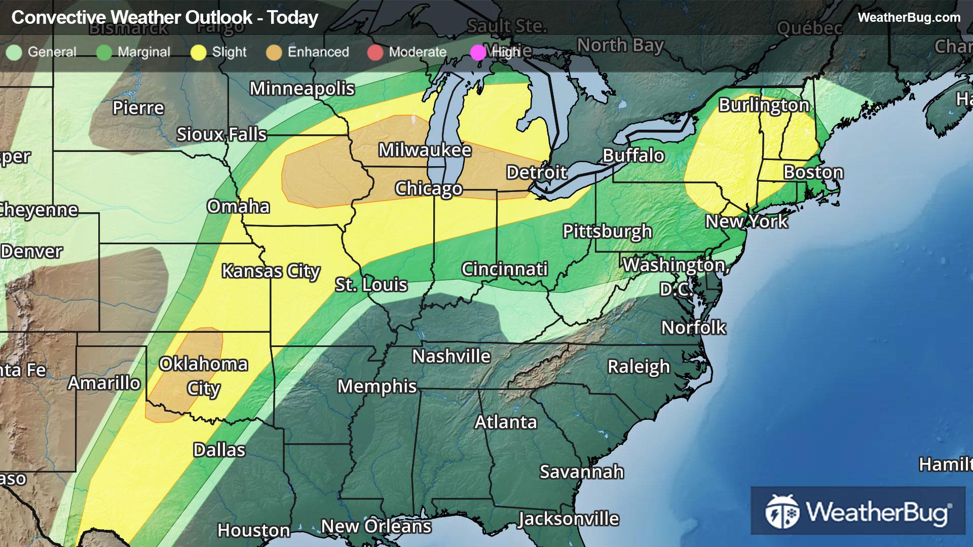
Today
78°FPartly sunny this morning then mostly cloudy with showers likely with a chance of thunderstorms this afternoon. Some thunderstorms may produce gusty winds this afternoon. Highs around 80. South winds 10 to 15 mph. Chance of rain 70 percent.
Tonight
59°FMostly cloudy. Showers likely with a chance of thunderstorms in the evening. Some thunderstorms may produce gusty winds in the evening. Lows in the upper 50s. Southwest winds 5 to 10 mph with gusts up to 20 mph becoming west after midnight. Chance of rain 70 percent.
- 76|63°F80% Chance of StormsHourly details
Day
76°FMostly cloudy. Patchy fog in the morning. A chance of showers in the morning then showers with a chance of thunderstorms in the afternoon. Highs in the mid 70s. East winds around 5 mph becoming southwest in the afternoon. Chance of rain 80 percent.
Night
63°FShowers with a chance of thunderstorms in the evening then showers likely after midnight. Lows in the lower 60s. Southwest winds around 5 mph. Chance of rain 80 percent.
- 82|62°F50% Chance Rain ShowersHourly details
Day
82°FMostly cloudy in the morning then becoming partly sunny. A chance of showers. Highs around 80. Southwest winds 5 to 10 mph. Chance of rain 50 percent.
Night
62°FMostly cloudy with a chance of showers. Lows around 60. Chance of rain 50 percent.
- 71|54°F60% Chance Rain ShowersHourly details
Day
71°FMostly cloudy with showers likely. Highs in the lower 70s. Lows in the mid 50s. Chance of rain 60 percent.
Night
54°FMostly cloudy with showers likely. Highs in the lower 70s. Lows in the mid 50s. Chance of rain 60 percent.
Weekend Weather
- 69|54°FPartly SunnyHourly details
Day
69°FMostly cloudy in the morning then becoming partly sunny. Highs in the lower 70s.
Night
54°FMostly cloudy with a 40 percent chance of showers. Lows in the lower 50s.
- 61|40°F60% Chance Rain ShowersHourly details
Day
61°FMostly cloudy with showers likely. Highs in the lower 60s. Lows in the mid 30s. Chance of rain 60 percent.
Night
40°FMostly cloudy with showers likely. Highs in the lower 60s. Lows in the mid 30s. Chance of rain 60 percent.
- 44|31°FPartly Sunny
Day
44°FPartly sunny. Cooler with highs in the upper 40s.
Night
31°FMostly clear. Low temperature around 31F. Dew point will be around 19F with an average humidity of 50%. Winds will be 9 mph from the W.
- 55|39°FSunny
Day
55°FSunny. High temperature around 55F. Dew point will be around 14F with an average humidity of 28%. Winds will be 6 mph from the W.
Night
39°FClear. Low temperature around 39F. Dew point will be around 24F with an average humidity of 45%. Winds will be 4 mph from the W.
- 60|46°FMostly Cloudy
Day
60°FMostly cloudy. High temperature around 60F. Dew point will be around 33F with an average humidity of 49%. Winds will be 4 mph from the W.
Night
46°FCloudy with a slight chance of rain. Chance of precipitation 25%. Low temperature around 46F. Dew point will be around 39F with an average humidity of 65%. Winds will be 2 mph from the NW.
- 64|50°F30% Chance of Rain
Day
64°FPartly cloudy with a slight chance of rain. Chance of precipitation 25%. High temperature around 64F. Dew point will be around 41F with an average humidity of 55%. Winds will be 2 mph from the SW.
Night
50°FCloudy with a chance of rain. Chance of precipitation 35%. Low temperature around 50F. Dew point will be around 44F with an average humidity of 68%. Winds will be 1 mph from the SW.