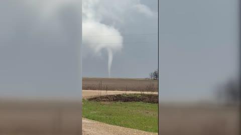
A strengthening storm system and its trailing cold front will trigger severe thunderstorms across the Midwest and Plains tonight, with the greatest risk focusing on the Upper Midwest.
The Upper Midwest will see heat and instability rise behind a warm front, with storms expected to continue to form this evening and tonight.
The Storm Prediction Center has issued Moderate and Enhanced Risks across much of the region, with the focus being on Minnesota, Iowa, Wisconsin, and the northern portions of Missouri and Illinois. Strong wind gusts, large hail, and tornadoes are likely this evening through tonight.
Further south, a cold front will extend across much of the Midwest and Plains. This front will trigger scattered thunderstorm activity, with pockets of severe storms possible. Enhanced and Slight Risks for severe weather extends across much of the southwestern and east-central Plains, including Omaha and Lincoln, Neb., Wichita, Kan., Oklahoma City, and Abilene and Midland, Texas. This region could see all modes of severe weather, including gusty winds, large hail, and a few tornadoes. Most of this activity will form this evening and overnight hours.
Tornado Watches are in effect for central and southeast Minnesota, western, central and northern Wisconsin, western and central Iowa, northeast Kansas, northwest Missouri, far southeast Nebraska, western Oklahoma and west-central Texas.
A Severe Thunderstorm Watch is in effect for northwest Iowa, northeast Nebraska, and southeast South Dakota.
As the disturbance progresses eastward into the Great Lakes on Tuesday, its cold front will stretch out, with the southern end of the front lingering across the southern Plains. The greatest risk for severe storms on Tuesday will remain near the storm's center across the eastern Great Lakes and Ohio Valley, with more sporadic severe storms possible across the southern Plains and Middle Mississippi Valley.
On Tuesday, the Storm Prediction Center has issued an Enhanced Risk for severe thunderstorms from Ohio to western New York, as well as parts of West Texas to southwest Oklahoma. Scattered severe storms are expected across a broad area from the Lower Great Lakes to the southern High Plains, with the strongest activity likely in the afternoon and evening.
In the Ohio Valley and Lower Great Lakes, storms may develop along the cold front, with damaging winds and hail as the primary threats. A few supercells could also form, especially where instability and wind shear overlap. Further south, from West Texas into southwest Oklahoma, multiple rounds of storms are expected along a stalled front. Supercells capable of very large hail and a couple of tornadoes may develop in the late afternoon before clustering into organized storm systems by evening.
The best protection is staying informed through reliable sources like the WeatherBug app and having an emergency kit ready with essentials like water, non-perishable food, and a battery-powered radio. As always, heed the lifesaving advice: "When Thunder Roars, Go Indoors!"