Heavy Rain, Strong Storms Target Central U.S.
The central U.S. refuses to catch a break as another round of severe weather is expected.
A low pressure system as well as an upper-level disturbance will tag team and cause an unsettled environment across the central U.S. today. With this surface low’s cold front and very warm, moist air ahead of it, all the ingredients are in place for severe weather to fire this afternoon and evening.
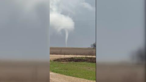
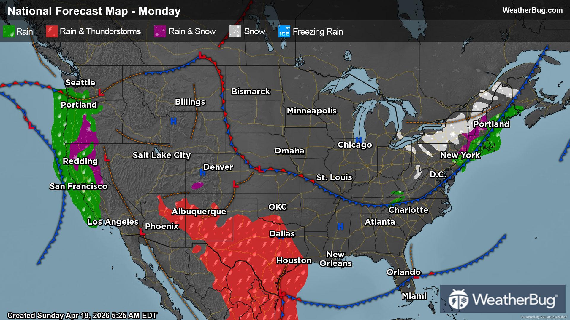
The Storm Prediction Center has highlighted central Texas northeast to southeastern Iowa and far western Illinois with a Slight Risk. This threat area includes Abilene, Dallas and Abilene, Texas, Tulsa and Oklahoma City, Okla., Kansas City and Springfield, Mo., Quincy, Ill., and Burlington, Iowa. The main threat concerns will be isolated tornadoes, hail larger than golf balls and wind gusts exceeding 55 mph.
A Tornado Watch is in effect for far east-central Kansas and most of northern Missouri. A Severe Thunderstorm Watch has also been posted from southwestern Kansas into northeastern and central Oklahoma and north-central Texas. A Severe Thunderstorm Watch is also in effect for parts of northeastern Missouri, eastern Iowa, northwestern Illinois and southwestern Wisconsin.
In addition to these severe weather threats, these storms may dump 1.5 to 2.5 inches of rain from central Oklahoma northeast to northeastern Missouri. Some areas in southeastern Kansas may even see rain totals of 3 to 3.5 inches. Because of this threat for heavy rain, Flood Watches have been issued. Cities within these watches include Oklahoma City and Tulsa, Okla., Eureka and Topeka, Kan., and Kansas City, Joplin, Jefferson City, Maryville and Kirksville, Mo.
Remember, if you approach a flooded roadway, it is best to “Turn Around, Don’t Drown!”
Make sure to know the difference between a watch and a warning should they be issued. A “watch” means that conditions are favorable for severe weather to occur and to be on alert for any rapidly changing conditions. A “warning” means that severe weather is imminent, and you should act fast to remain safe.
The best way to remain safe is to stay prepared and informed about your local weather. Have a severe weather kit packed with a battery-operated radio, water, and non-perishable food items. Also, check the WeatherBug app frequently for any updates on today's severe weather. Remember, "When Thunder Roars, Go Indoors!"